Story highlights
The island shows up on the maps between Australia and New Caledonia
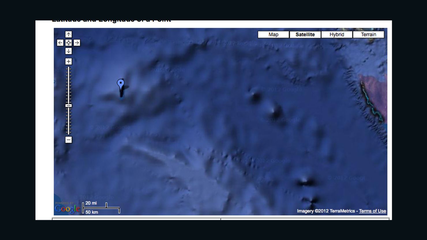
Called Sandy Island by Google Maps and Sable Island on others is supposed to be 60 square miles
The ship sailed right through the area where the island was supposed to be
An international scientific expedition has revealed a South Pacific island roughly the size of Manhattan and clearly marked on online maps and marine charts does not, in fact, exist.
The ‘undiscovery’ of the island – which until now was midway between Australia and New Caledonia – highlights how much there still is to learn about the oceans, scientists say.
“We saw this mysterious island on all the scientific maps and weather maps but not on this one navigational chart that was on our ship,” Ph.D student Sabin Zahirovic, part of the research team on board the RV Southern Surveyor, told CNN.
“So we decided to go see if it was actually there.”
The ship didn’t find an island
The island, identified as Sandy Island by Google Maps and Sable Island on others, was supposed to be quite large in size – 156 square kilometers (60 square miles) – but the ship sailed right through the area where the island was supposed to be.
7 places that inspire gratitude
“The captain was actually quite nervous because the island was showing up on all the maps,” Zahirovic said.
The undiscovery was made during the ship’s voyage this month. Although the team had originally planned to check out the existence of the island during the day, they had arrived at the location of the island at night due to a navigational error.
“We were watching all of our depth-sounding equipment. Luckily for us the sea floor turned out to be very deep there,” said Zahirovic, who is studying the tectonic evolution of the eastern Coral Sea.
The implications are significant
Although the undiscovery of the island was not part of the original research mission of the international team of scientists led by University of Sydney’s Dr. Maria Seton, the implications of the wrong maps are significant.
“All the scientific cartography relies on these maps, and numerical simulations of waves and currents depend on size of these land forms,” said Zahirovic.
Eat like a local: Share your picks
“It just goes to show the oceans are so underexposed. It’s actually really shocking that we haven’t not found more islands.”
When asked about the Google Maps mistake, a Google spokesperson told CNN that keeping on top of changes is a “never-ending endeavor,” and that Google will continuously explore ways to integrate new information from users.